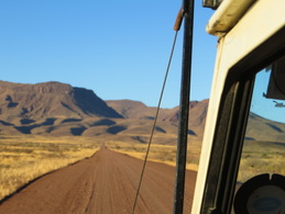
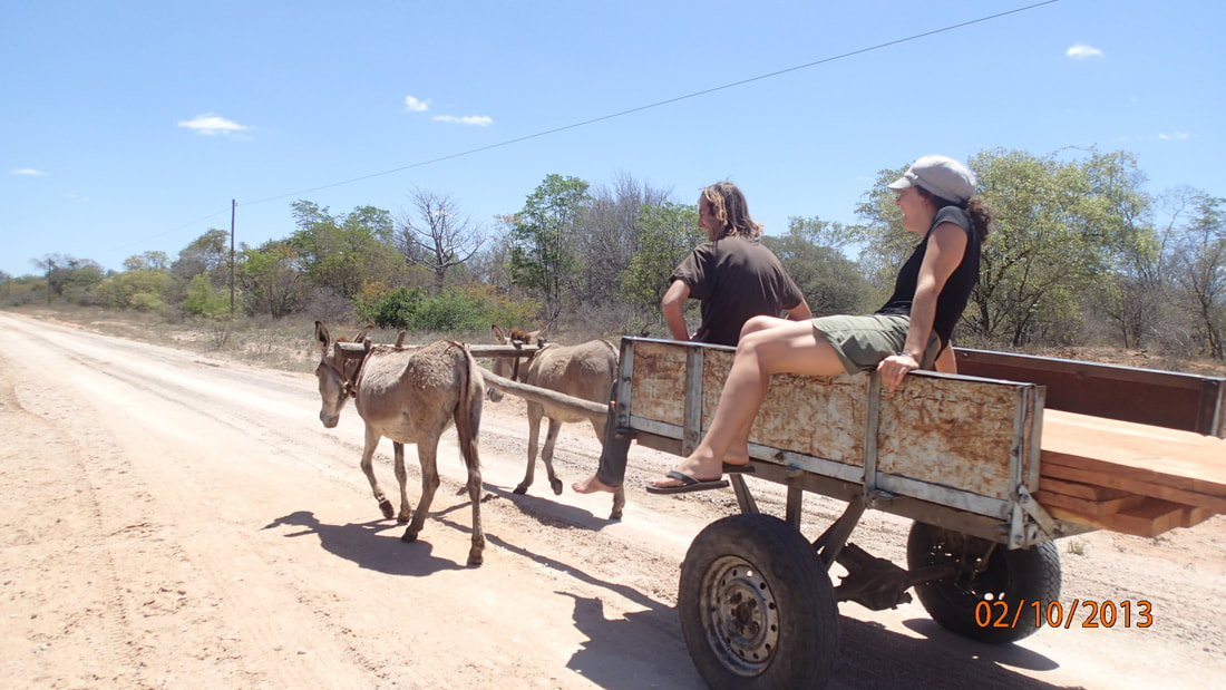
 It's time to drive the Koreans to Mariantal - they must take a bus to Cape Town then head home. We pack up and head on our way. Lots of horse and carriages in this part of Namibia. Mariantal isn't quite as far as we anticipated, and we had expected to just stay for the night. No chance – it is too small and a bit creepy. So we hit the store to make some lunch for the Koreans before leaving them at the bus stop. I'm playing chef in the back of the Landie, and it's getting a bit warm. I go to jump out and something goes terribly wrong.... In slow motion I tumble out and catch my foot in the slope of the road. Down she goes, excruciating pain... Sprained ankle. Oh crap. Turns out, Korean #1 is a physical therapist and prescribes ice, elevation, and rest. Yikes. Rest – we're finally going somewhere I can hike! We shall see.... we leave our friends at the local Wimpy and head towards Brukkaros. Brukkaros Mountain is an extinct volcano measuring 1,590 meters at its peak. It is in the form of a ring mountain and was formed when rising magma met ground water, superheated it and blew it up about 80 million years ago. Very exciting. We arrive (per usual) just before sunset. The place is deserted, so we explore. There is one set of campsites below the mountain, but there is also a path climbing up. The Landie goes in low gear and we start climbing. And climbing. Up we go, and there is another site. No electricity or running water, but a killer view so we stay. Great sunset, gorgeous sunrise, and another night without a tent. We wake up to a local man asking for water. Turns out, this is a community run project and he just hiked about 20 km to get our money. Wow. He does that walk every day in this heat – incredible. He tells us that the place used to have many amenities, but locals stole all of the pipes, electric lines, and fixtures so now it is very run down. This is pretty awful, particularly since this is about it for many miles around. The town of Berseba is very small and feels a bit like a military camp. The mountain could be such an asset and it is not being respected. Shame. We also learn that the crater is a short hike away. I wrap my ankle and give it a shot. Very slow going, and loads of rock but we make it. It's lovely, and starting to re-vegetate. But it's getting hot – so we turn back. And get very, very lost. I spent the entire walk looking down and avoiding falling into holes – not navigating. We end up walking/limping twice as far coming back and by the time we reach camp I am ready to sit. For a while! We enjoy a nice breakfast, break camp, and head to the coast to check out Luderitz!
0 Comments
Leave a Reply. |
ABOUTCombining a passion for travel, the desire to make a difference & a love of maps, MaggieMaps was born. PRESS
Unless otherwise noted, all prose, poetry, maps and photography posted on this blog are Copyright 2013 Maggie Maps
Archives
March 2020
Categories
All
Blogs I like |
 RSS Feed