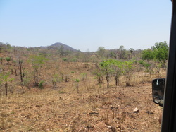
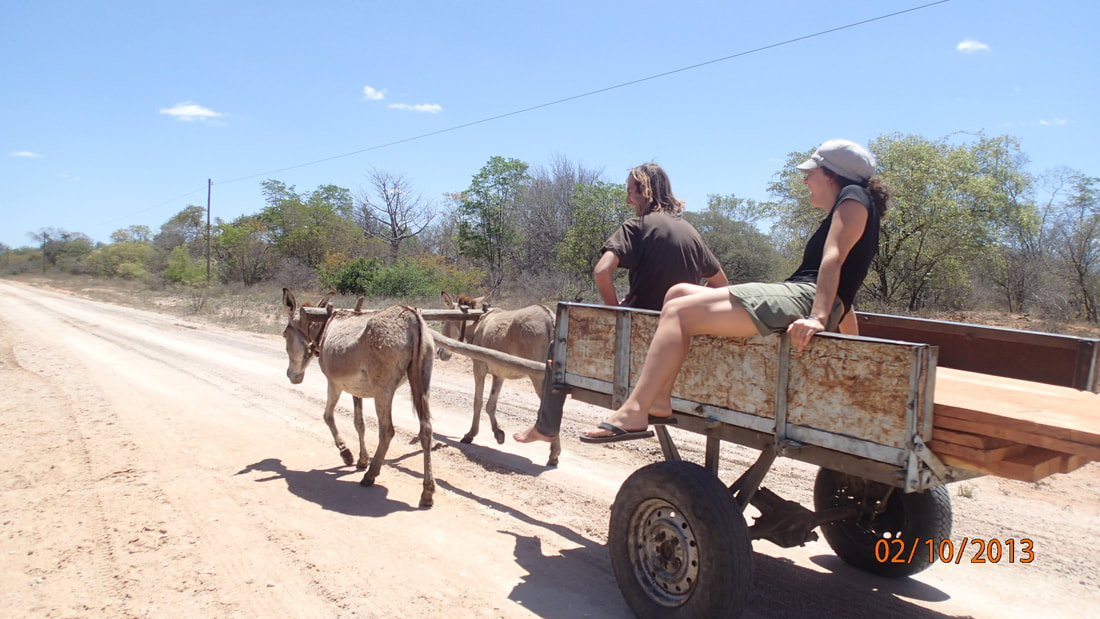
 The "shortcut" road.... The "shortcut" road.... On a tip from a local at Croc Valley, we head towards Lusaka via the 'shortcut' road. Which turns out to mean rocks, steep inclines, dirt and sand.... in other words – perfect for the Landie :) A few minutes in, we see wild elephants and impala. Amazing. Further down the road we come to remote villages, more rocks, and some guys walking in the middle of nowhere with no water... Where must you go in the heat of the day? Every time we're on one of these 'back roads', we see someone and it never ceases to amaze me. Endurance! The shortcut doesn't get us to Lusaka, so we camp at Bridge Camp next to the Luangwa River – again arriving in the cover or darkness. A clean, quiet place to rest complete with a refreshing pool overlooking the river. We make it to Lusaka the next day to pick up Aussie #2, pay a visit to the mall to stock up, order some pizzas, and navigate the parking garage with the Landie (amusing). It's a bit overwhelming to be in a capitol city of 1.7 million people after all of that wildlife, but we make it out of the mall in one piece! A few cold, rainy nights at the Pioneer Camp in Lusaka are enough and the 4 of us – now 2 Aussies (mom & daughter), the South African, and the 2 Americans head to Livingstone. Five hundred kilometers and many hours later we arrive in Livingstone – a historic British colonial city (named after David Livingstone) with about 140,000 people and many tourists who are like to party... Particularly at Jollyboys Backpackers where we pitch out tents. After a long day on the road, we decide to escape the backpacker party and head out on the town for dinner at Cafe Zambezi. I order a local fish dish (2 whole fishes so mind the bones!) and Aussie #1 has the goat curry... complete with the liver. Yes, I'm happy with my order! Post dinner we head out to a local jazz club and catch a 3 piece Livingstone band, then a karaoke bar to sing a tune, and finally we join ½ the town for a lip synching party. Good times, but tomorrow we'll see what we came for – Victoria Falls, or Mosi-oa-Tunya – the Smoke that Thunders!
0 Comments
Leave a Reply. |
ABOUTCombining a passion for travel, the desire to make a difference & a love of maps, MaggieMaps was born. PRESS
Unless otherwise noted, all prose, poetry, maps and photography posted on this blog are Copyright 2013 Maggie Maps
Archives
March 2020
Categories
All
Blogs I like |
 RSS Feed